 Mile Marker TX
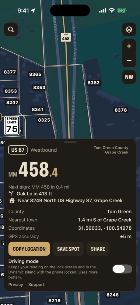
Exactly where you are
Your highway and mile marker to the tenth, which way you're headed, and the next sign ahead. In town, the street address instead.
- Nearest crossroad and nearest town
- County and GPS coordinates
- One line to copy or share
Mile markers to the tenth. Every 911 address. Who owns the land. Ranch roads, your own pins, your crew on the map, and a map that keeps working when the signal quits.
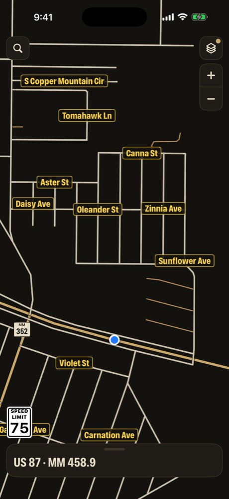
The things you'd otherwise juggle across a map app, a county records site and a notebook in the truck. Tap any of them to see how it works.
Your highway and mile marker to the tenth, which way you're headed, and the next sign ahead. In town, the street address instead.
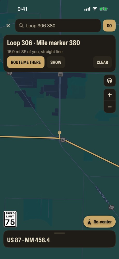
Type a highway and a number, a county road, a street address or coordinates, and route to it right inside the app.
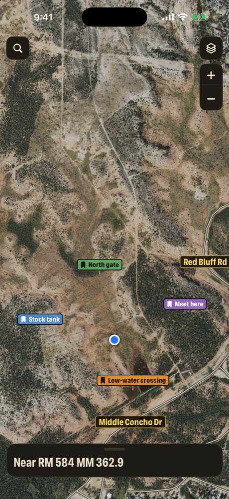
Long-press to drop a pin, pick a kind, and it shows in its own color over the map or satellite.
Every marker and street address lives on the phone. Switch on the offline map and the app draws the roads itself.
All 254 counties, in 24 regions. Every posted TxDOT mile marker on the interstates, US and state highways and FM and RM roads, 12.1 million 911 addresses, and publicly recorded landowners from county appraisal records.
The Concho Valley comes built in. Download the other regions you drive, and they work offline too.
No tracking. Apple's map services use your location to draw the map, and your group sees it only if you choose to share. Read the privacy policy.
Mile Marker TX doesn't contact anyone for you. It tells you exactly where you are so you can say it clearly. Check it against the posted signs when you can, and set it up before you drive.